
Rena topographic map
Interactive map
Click on the map to display elevation.
About this map
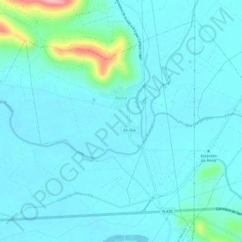
Name: Rena topographic map, elevation, terrain.
Location: Rena, Badajoz, Extremadura, Spain (39.03176 -5.82986 39.06707 -5.77544)
Average elevation: 267 m
Minimum elevation: 246 m
Maximum elevation: 408 m