
Ojocaliente topographic map
Interactive map
Click on the map to display elevation.
About this map
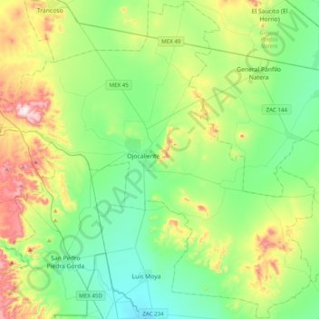
Name: Ojocaliente topographic map, elevation, terrain.
Location: Ojocaliente, Zacatecas, 98710, México (22.38550 -102.43356 22.74543 -102.04085)
Average elevation: 2,132 m
Minimum elevation: 1,958 m
Maximum elevation: 2,565 m