
Krummhörn topographic map
Interactive map
Click on the map to display elevation.
About this map
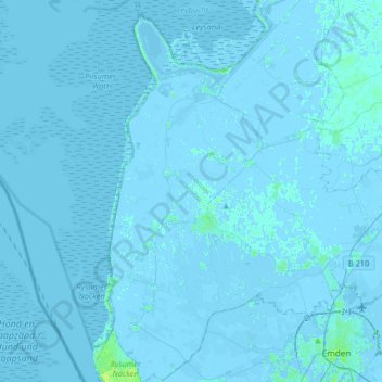
Name: Krummhörn topographic map, elevation, terrain.
Location: Krummhörn, Landkreis Aurich, Lower Saxony, 26736, Germany (53.35210 7.01083 53.54607 7.21200)
Average elevation: 0 m
Minimum elevation: -5 m
Maximum elevation: 10 m