
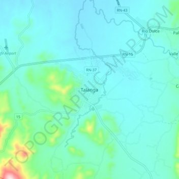
Talanga topographic map
Interactive map
Click on the map to display elevation.
About this map
Name: Talanga topographic map, elevation, terrain.
Location: Talanga, Francisco Morazán, Honduras (14.36434 -87.12111 14.44434 -87.04111)
Average elevation: 824 m
Minimum elevation: 763 m
Maximum elevation: 1,205 m