
San Esteban Catarina topographic map
Interactive map
Click on the map to display elevation.
About this map
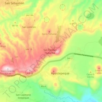
Name: San Esteban Catarina topographic map, elevation, terrain.
Location: San Esteban Catarina, San Vicente, República de El Salvador (13.64537 -88.82697 13.72537 -88.74697)
Average elevation: 585 m
Minimum elevation: 284 m
Maximum elevation: 917 m