
Norderstedt topographic map
Interactive map
Click on the map to display elevation.
About this map
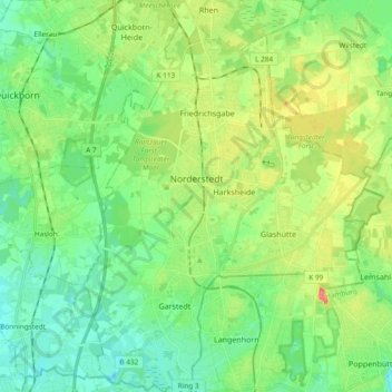
Name: Norderstedt topographic map, elevation, terrain.
Location: Norderstedt, Kreis Segeberg, Schleswig-Holstein, Germany (53.64812 9.93476 53.75947 10.07294)
Average elevation: 29 m
Minimum elevation: 8 m
Maximum elevation: 71 m