
Porthoustock topographic map
Interactive map
Click on the map to display elevation.
About this map
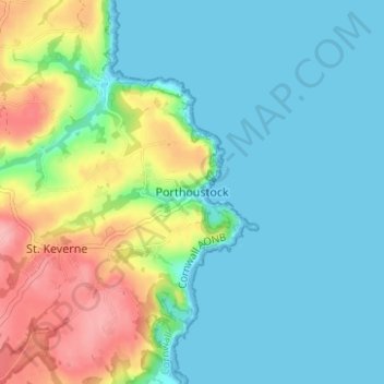
Name: Porthoustock topographic map, elevation, terrain.
Location: Porthoustock, Cornwall, England, TR12 6QW, United Kingdom (50.03630 -5.08613 50.07630 -5.04613)
Average elevation: 29 m
Minimum elevation: 0 m
Maximum elevation: 104 m