
Hightower Forest topographic map
Interactive map
Click on the map to display elevation.
About this map
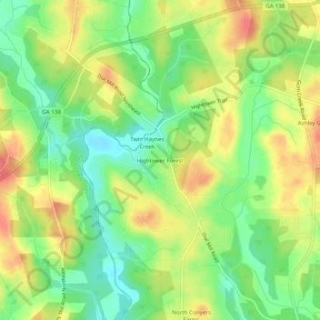
Name: Hightower Forest topographic map, elevation, terrain.
Location: Hightower Forest, Newton County, Georgia, United States (33.68706 -83.93380 33.72706 -83.89380)
Average elevation: 225 m
Minimum elevation: 192 m
Maximum elevation: 261 m