
Camp Hill topographic map
Interactive map
Click on the map to display elevation.
About this map
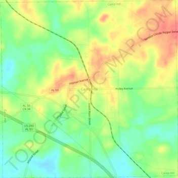
Name: Camp Hill topographic map, elevation, terrain.
Location: Camp Hill, Tallapoosa County, Alabama, 36850, United States (32.77828 -85.67987 32.82244 -85.62723)
Average elevation: 203 m
Minimum elevation: 172 m
Maximum elevation: 237 m