
Romita topographic map
Interactive map
Click on the map to display elevation.
About this map
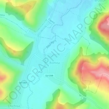
Name: Romita topographic map, elevation, terrain.
Location: Romita, Sălaj, 457286, Romania (47.13914 23.19597 47.15454 23.21627)
Average elevation: 264 m
Minimum elevation: 224 m
Maximum elevation: 363 m