
Carthage topographic map
Interactive map
Click on the map to display elevation.
About this map
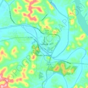
Name: Carthage topographic map, elevation, terrain.
Location: Carthage, Smith County, Tennessee, 37030, United States (36.21228 -85.99165 36.29228 -85.91165)
Average elevation: 183 m
Minimum elevation: 134 m
Maximum elevation: 341 m