
Warrenton topographic map
Interactive map
Click on the map to display elevation.
About this map
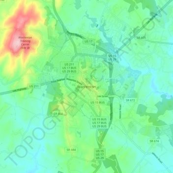
Name: Warrenton topographic map, elevation, terrain.
Location: Warrenton, Fauquier County, Virginia, 20186, United States (38.67355 -77.83537 38.75355 -77.75537)
Average elevation: 161 m
Minimum elevation: 106 m
Maximum elevation: 329 m