
Ban Prasat topographic map
Interactive map
Click on the map to display elevation.
About this map
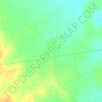
Name: Ban Prasat topographic map, elevation, terrain.
Location: Ban Prasat, Nakhon Ratchasima Province, Thailand (15.11602 101.57959 15.15602 101.61959)
Average elevation: 254 m
Minimum elevation: 240 m
Maximum elevation: 272 m