
Cerbureni topographic map
Interactive map
Click on the map to display elevation.
About this map
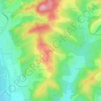
Name: Cerbureni topographic map, elevation, terrain.
Location: Cerbureni, Valea Iașului, Argeș, 117799, Romania (45.18769 24.67385 45.22769 24.71385)
Average elevation: 536 m
Minimum elevation: 450 m
Maximum elevation: 681 m