
Clearview topographic map
Interactive map
Click on the map to display elevation.
About this map
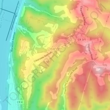
Name: Clearview topographic map, elevation, terrain.
Location: Clearview, Ohio County, West Virginia, United States (40.13096 -80.70014 40.14816 -80.67469)
Average elevation: 302 m
Minimum elevation: 186 m
Maximum elevation: 406 m