
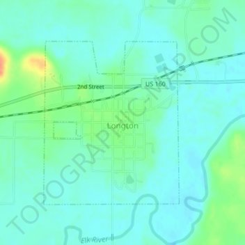
Longton topographic map
Interactive map
Click on the map to display elevation.
About this map
Name: Longton topographic map, elevation, terrain.
Location: Longton, Elk County, Kansas, 67352, United States (37.36909 -96.09179 37.38709 -96.07298)
Average elevation: 274 m
Minimum elevation: 264 m
Maximum elevation: 306 m