
An Châu topographic map
Interactive map
Click on the map to display elevation.
About this map
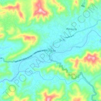
Name: An Châu topographic map, elevation, terrain.
Location: An Châu, Sơn Động District, Bac Giang Province, Vietnam (21.29292 106.80908 21.37292 106.88908)
Average elevation: 129 m
Minimum elevation: 33 m
Maximum elevation: 439 m