
East Carondelet topographic map
Interactive map
Click on the map to display elevation.
About this map
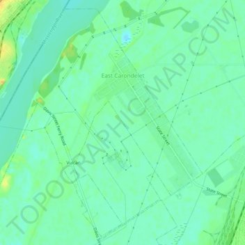
Name: East Carondelet topographic map, elevation, terrain.
Location: East Carondelet, Saint Clair County, Illinois, United States (38.51790 -90.26448 38.55197 -90.21763)
Average elevation: 123 m
Minimum elevation: 113 m
Maximum elevation: 143 m