
Bhadla topographic map
Interactive map
Click on the map to display elevation.
About this map
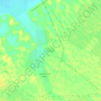
Name: Bhadla topographic map, elevation, terrain.
Location: Bhadla, Bap Tehsil, Jodhpur, Rajasthan, India (27.50241 71.91640 27.54241 71.95640)
Average elevation: 179 m
Minimum elevation: 167 m
Maximum elevation: 188 m