
Hilly Fields Local Nature Reserve topographic map
Interactive map
Click on the map to display elevation.
About this map
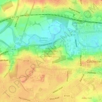
Name: Hilly Fields Local Nature Reserve topographic map, elevation, terrain.
Average elevation: 27 m
Minimum elevation: 4 m
Maximum elevation: 45 m
Other topographic maps
Click on a map to view its topography, its elevation and its terrain.
Fordham
United Kingdom > England > Essex > Colchester > Fordham
Fordham, Colchester, Essex, East of England, England, CO6 3NR, United Kingdom
Average elevation: 51 m
Wormingford
United Kingdom > England > Essex > Colchester
Wormingford, Colchester, Essex, East of England, England, United Kingdom
Average elevation: 44 m
Inworth
United Kingdom > England > Essex > Colchester > Inworth
Inworth, Colchester, Essex, East of England, England, CO5 9SP, United Kingdom
Average elevation: 46 m