
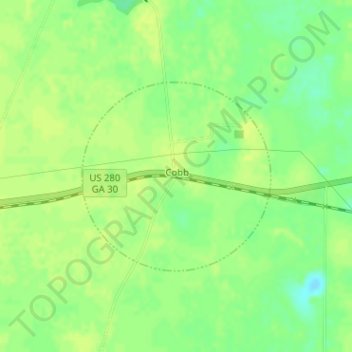
Cobb topographic map
Interactive map
Click on the map to display elevation.
About this map
Name: Cobb topographic map, elevation, terrain.
Location: Cobb, Sumter County, Georgia, United States (31.95154 -83.99682 31.96602 -83.97971)
Average elevation: 89 m
Minimum elevation: 78 m
Maximum elevation: 93 m