
Rustavi topographic map
Interactive map
Click on the map to display elevation.
About this map
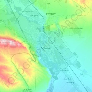
Name: Rustavi topographic map, elevation, terrain.
Location: Rustavi, Lower Kartli, 3700, Georgia (41.48995 44.89030 41.60117 45.08357)
Average elevation: 404 m
Minimum elevation: 298 m
Maximum elevation: 763 m