
Ramer topographic map
Interactive map
Click on the map to display elevation.
About this map
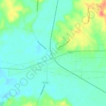
Name: Ramer topographic map, elevation, terrain.
Location: Ramer, McNairy County, Tennessee, United States (35.06178 -88.64458 35.08180 -88.59162)
Average elevation: 132 m
Minimum elevation: 115 m
Maximum elevation: 172 m