
Кыргыз topographic map
Interactive map
Click on the map to display elevation.
About this map
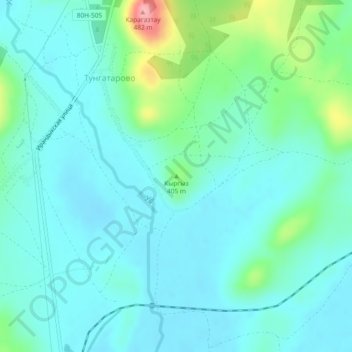
Name: Кыргыз topographic map, elevation, terrain.
Average elevation: 379 m
Minimum elevation: 353 m
Maximum elevation: 483 m
Other topographic maps
Click on a map to view its topography, its elevation and its terrain.
Uchaly
Russia > Bashkortostan > Uchalinsky District
Uchaly, городское поселение Учалы, Uchalinsky District, Bashkortostan, Volga Federal District, Russia
Average elevation: 547 m