
Hatod Tahsil topographic map
Interactive map
Click on the map to display elevation.
About this map
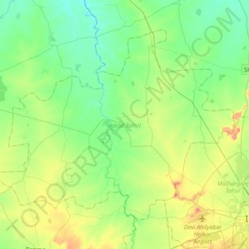
Name: Hatod Tahsil topographic map, elevation, terrain.
Location: Hatod Tahsil, Indore District, Madhya Pradesh, India (22.71945 75.56570 22.92020 75.85089)
Average elevation: 536 m
Minimum elevation: 500 m
Maximum elevation: 623 m
Other topographic maps
Click on a map to view its topography, its elevation and its terrain.
Hatod
India > Madhya Pradesh > Hatod Tahsil > Hatod
Hatod, Hatod Tahsil, Indore, Madhya Pradesh, India
Average elevation: 540 m