
Sudher topographic map
Interactive map
Click on the map to display elevation.
About this map
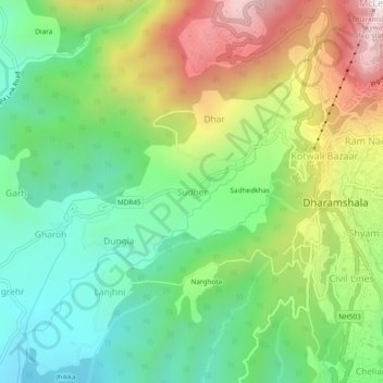
Name: Sudher topographic map, elevation, terrain.
Location: Sudher, Dharmsala, Kangra, Himachal Pradesh, 176215, India (32.19543 76.28197 32.23543 76.32197)
Average elevation: 1,197 m
Minimum elevation: 861 m
Maximum elevation: 1,754 m