
Granville topographic map
Interactive map
Click on the map to display elevation.
About this map
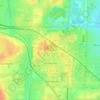
Name: Granville topographic map, elevation, terrain.
Average elevation: 225 m
Minimum elevation: 203 m
Maximum elevation: 247 m
Other topographic maps
Click on a map to view its topography, its elevation and its terrain.
Green Moor
United States > Wisconsin > Milwaukee County > Milwaukee
Green Moor, Milwaukee, Milwaukee County, Wisconsin, United States
Average elevation: 234 m