
Augustenborg topographic map
Interactive map
Click on the map to display elevation.
About this map
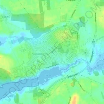
Name: Augustenborg topographic map, elevation, terrain.
Location: Augustenborg, Sønderborg Municipality, Denmark (54.94417 9.85967 54.95803 9.89255)
Average elevation: 10 m
Minimum elevation: -2 m
Maximum elevation: 29 m