
La Salle topographic map
Interactive map
Click on the map to display elevation.
About this map
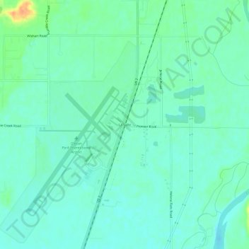
Name: La Salle topographic map, elevation, terrain.
Location: La Salle, Flathead County, Montana, United States (48.29302 -114.26402 48.33302 -114.22402)
Average elevation: 906 m
Minimum elevation: 896 m
Maximum elevation: 932 m