
Boonville topographic map
Interactive map
Click on the map to display elevation.
About this map
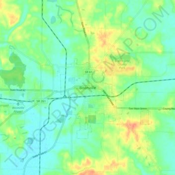
Name: Boonville topographic map, elevation, terrain.
Location: Boonville, Warrick County, Indiana, 47601, United States (38.00933 -87.31466 38.08933 -87.23466)
Average elevation: 130 m
Minimum elevation: 115 m
Maximum elevation: 156 m