
Mount Garland topographic map
Interactive map
Click on the map to display elevation.
About this map
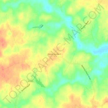
Name: Mount Garland topographic map, elevation, terrain.
Location: Mount Garland, Louisa County, Virginia, United States (37.91570 -77.83194 37.95570 -77.79194)
Average elevation: 89 m
Minimum elevation: 64 m
Maximum elevation: 110 m