
Waldo topographic map
Interactive map
Click on the map to display elevation.
About this map
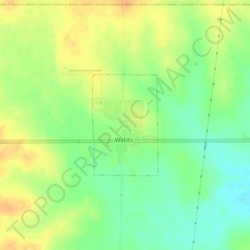
Name: Waldo topographic map, elevation, terrain.
Location: Waldo, Russell County, Kansas, 67673, United States (39.11445 -98.80256 39.12540 -98.79337)
Average elevation: 526 m
Minimum elevation: 508 m
Maximum elevation: 542 m
Waldo is located at 39°7′13″N 98°47′52″W / 39.12028°N 98.79778°W / 39.12028; -98.79778 (39.120162, -98.797863) at an elevation of 1,713 feet (522 m). The community is on U.S. Route 281 in north-central Kansas 122 miles (196 km) northwest of Wichita, 224 miles (360 km) west of Kansas City, and 16 miles (26 km) north-northeast of Russell, the county seat.