
Conroe topographic map
Interactive map
Click on the map to display elevation.
About this map
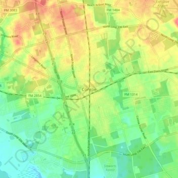
Name: Conroe topographic map, elevation, terrain.
Location: Conroe, Montgomery County, Texas, 77301, United States (30.27188 -95.49605 30.35188 -95.41605)
Average elevation: 60 m
Minimum elevation: 34 m
Maximum elevation: 90 m