
Pike County topographic map
Interactive map
Click on the map to display elevation.
About this map
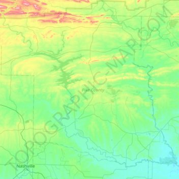
Name: Pike County topographic map, elevation, terrain.
Location: Pike County, Arkansas, United States (33.94367 -93.93924 34.34986 -93.36721)
Average elevation: 171 m
Minimum elevation: 62 m
Maximum elevation: 589 m