
Town of Hazelhurst topographic map
Interactive map
Click on the map to display elevation.
About this map
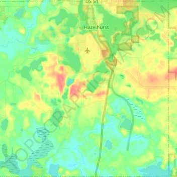
Name: Town of Hazelhurst topographic map, elevation, terrain.
Average elevation: 486 m
Minimum elevation: 465 m
Maximum elevation: 524 m
Other topographic maps
Click on a map to view its topography, its elevation and its terrain.
Yukon Creek
United States > Wisconsin > Oneida County
Yukon Creek, Town of Minoqua, Oneida County, Wisconsin, United States
Average elevation: 481 m