
Chunar topographic map
Interactive map
Click on the map to display elevation.
About this map
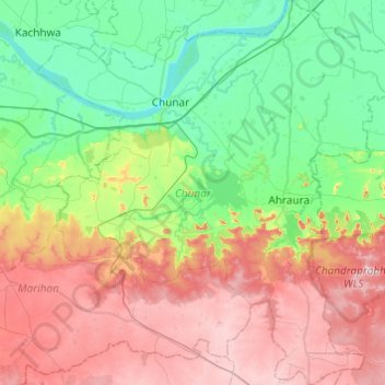
Name: Chunar topographic map, elevation, terrain.
Location: Chunar, Mirzapur District, Uttar Pradesh, India (24.80419 82.71516 25.24376 83.18120)
Average elevation: 159 m
Minimum elevation: 56 m
Maximum elevation: 331 m