
Moro topographic map
Interactive map
Click on the map to display elevation.
About this map
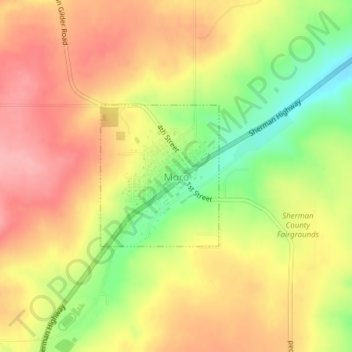
Name: Moro topographic map, elevation, terrain.
Location: Moro, Sherman County, Oregon, 97039, United States (45.47870 -120.73948 45.48957 -120.72650)
Average elevation: 587 m
Minimum elevation: 521 m
Maximum elevation: 634 m