
Udalguri topographic map
Interactive map
Click on the map to display elevation.
About this map
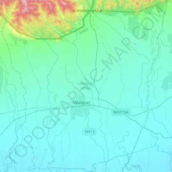
Name: Udalguri topographic map, elevation, terrain.
Location: Udalguri, Assam, India (26.64134 91.95923 26.90993 92.24841)
Average elevation: 155 m
Minimum elevation: 72 m
Maximum elevation: 825 m