
Katie topographic map
Interactive map
Click on the map to display elevation.
About this map
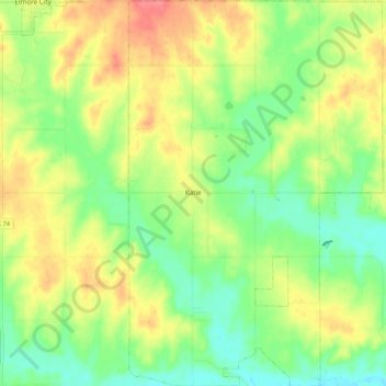
Name: Katie topographic map, elevation, terrain.
Location: Katie, Garvin County, Oklahoma, United States (34.53548 -97.37012 34.62304 -97.29994)
Average elevation: 291 m
Minimum elevation: 259 m
Maximum elevation: 331 m