
Östanå topographic map
Interactive map
Click on the map to display elevation.
About this map
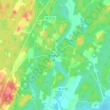
Name: Östanå topographic map, elevation, terrain.
Location: Östanå, Östra Göinge kommun, Skåne County, Sweden (56.28638 14.00057 56.32638 14.04057)
Average elevation: 67 m
Minimum elevation: 44 m
Maximum elevation: 109 m