
Bhavani topographic map
Interactive map
Click on the map to display elevation.
About this map
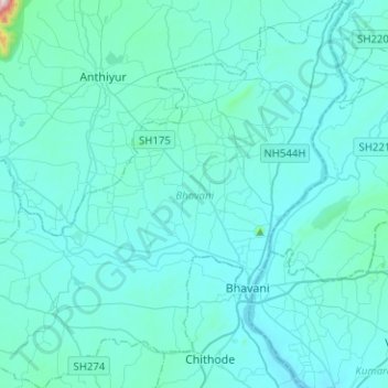
Name: Bhavani topographic map, elevation, terrain.
Location: Bhavani, Erode District, Tamil Nadu, India (11.37655 77.50507 11.62336 77.74803)
Average elevation: 203 m
Minimum elevation: 149 m
Maximum elevation: 1,094 m
Other topographic maps
Click on a map to view its topography, its elevation and its terrain.
Kavunthapaadi
India > Tamil Nadu > Bhavani
Kavunthapaadi, Bhavani, Erode District, Tamil Nadu, 638455, India
Average elevation: 200 m