
Kuru topographic map
Interactive map
Click on the map to display elevation.
About this map
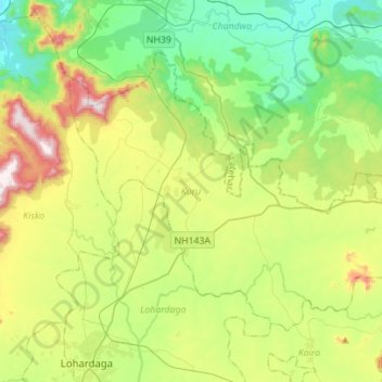
Name: Kuru topographic map, elevation, terrain.
Location: Kuru, Lohardaga, Jharkhand, 835213, India (23.45500 84.66711 23.64089 84.94573)
Average elevation: 646 m
Minimum elevation: 437 m
Maximum elevation: 1,077 m