
Soda Springs topographic map
Interactive map
Click on the map to display elevation.
About this map
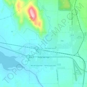
Name: Soda Springs topographic map, elevation, terrain.
Location: Soda Springs, Caribou County, Idaho, 83276, United States (42.64136 -111.61849 42.68133 -111.55951)
Average elevation: 1,782 m
Minimum elevation: 1,741 m
Maximum elevation: 1,984 m