
Davis topographic map
Interactive map
Click on the map to display elevation.
About this map
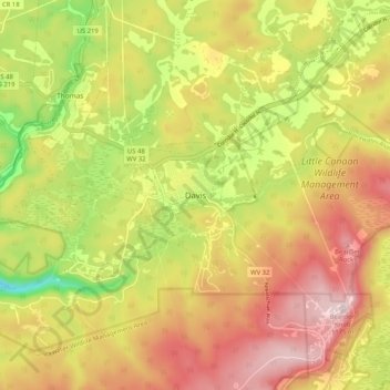
Name: Davis topographic map, elevation, terrain.
Location: Davis, Tucker County, West Virginia, 26260, United States (39.08873 -79.50476 39.16873 -79.42476)
Average elevation: 984 m
Minimum elevation: 761 m
Maximum elevation: 1,176 m
At an elevation of 3,520 feet, Davis has the highest elevation of any West Virginia town.