
Keyser topographic map
Interactive map
Click on the map to display elevation.
About this map
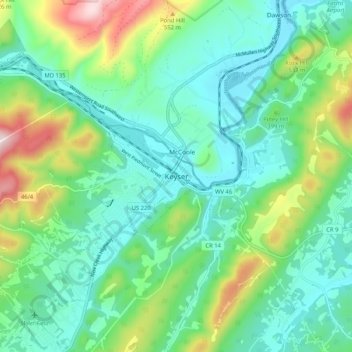
Name: Keyser topographic map, elevation, terrain.
Location: Keyser, Mineral County, West Virginia, 26726, United States (39.40093 -79.01392 39.48093 -78.93392)
Average elevation: 359 m
Minimum elevation: 219 m
Maximum elevation: 753 m