Hot Springs Village topographic map
Interactive map
Click on the map to display elevation.
About this map
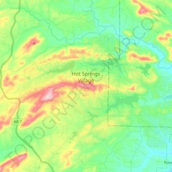
Name: Hot Springs Village topographic map, elevation, terrain.
Average elevation: 226 m
Minimum elevation: 146 m
Maximum elevation: 390 m

Click on the map to display elevation.
Name: Hot Springs Village topographic map, elevation, terrain.
Average elevation: 226 m
Minimum elevation: 146 m
Maximum elevation: 390 m