
Lilly Lake topographic map
Interactive map
Click on the map to display elevation.
About this map
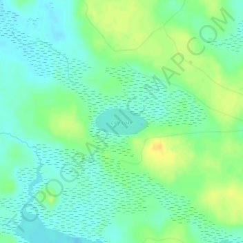
Name: Lilly Lake topographic map, elevation, terrain.
Average elevation: 225 m
Minimum elevation: 215 m
Maximum elevation: 240 m
Other topographic maps
Click on a map to view its topography, its elevation and its terrain.
Saint Martin Island
United States > Michigan > Mackinac County
Saint Martin Island, Marquette Township, Mackinac County, Michigan, United States
Average elevation: 176 m
Bois Blanc Township
United States > Michigan > Mackinac County
Bois Blanc Township, Mackinac County, Michigan, 49775, United States
Average elevation: 179 m
Mackinac Island
United States > Michigan > Mackinac County
Mackinac Island, Mackinac County, Michigan, 49757, United States
Average elevation: 183 m
Mitten Lake
United States > Michigan > Mackinac County
Mitten Lake, Newton Township, Mackinac County, Michigan, United States
Average elevation: 223 m