
New Hartford topographic map
Interactive map
Click on the map to display elevation.
About this map
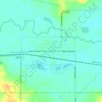
Name: New Hartford topographic map, elevation, terrain.
Location: New Hartford, Butler County, Iowa, United States (42.56313 -92.63295 42.57060 -92.61349)
Average elevation: 276 m
Minimum elevation: 267 m
Maximum elevation: 303 m