
Ban Sang topographic map
Interactive map
Click on the map to display elevation.
About this map
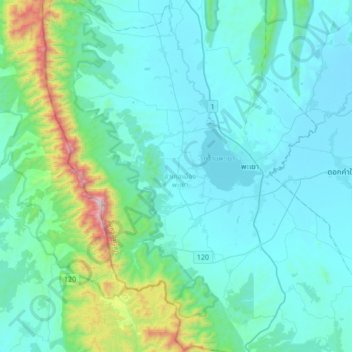
Name: Ban Sang topographic map, elevation, terrain.
Location: Ban Sang, Mueang Phayao District, Phayao Province, Thailand (18.99811 99.67115 19.31811 99.99115)
Average elevation: 551 m
Minimum elevation: 383 m
Maximum elevation: 1,658 m