
McKenzie County topographic map
Interactive map
Click on the map to display elevation.
About this map
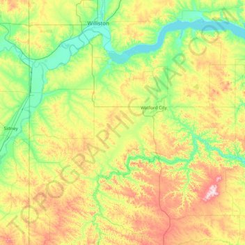
Name: McKenzie County topographic map, elevation, terrain.
Location: McKenzie County, North Dakota, United States (47.32800 -104.04533 48.14669 -102.54937)
Average elevation: 681 m
Minimum elevation: 556 m
Maximum elevation: 998 m
Other topographic maps
Click on a map to view its topography, its elevation and its terrain.
East Fairview
United States > North Dakota > McKenzie County
East Fairview, McKenzie County, North Dakota, 59221, United States
Average elevation: 590 m